- Client: European Commission – Interreg Program Italy – Slovenia.
- Period: 1 October 2023 – 30 September 2025.
- Total budget: 749,959.70 EUR.
- ERDF budget: EUR 599,967.76
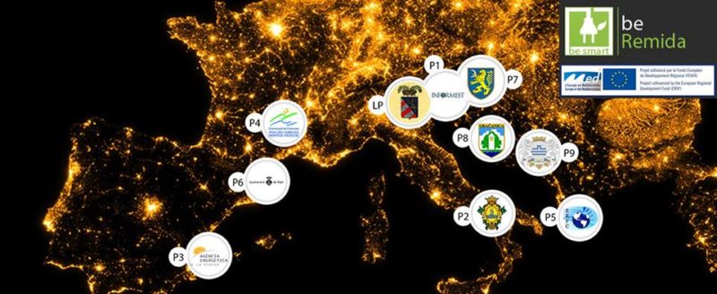
- Partners: Municipality of Ajdovščina (SI), Geodetic Institute of Slovenia (SI), Public fire and rescue institute – Vigili del Fuoco Nova Gorica (SI), Institute of International Sociology of Gorizia (IT), Metropolitan City of Venice (IT), University of Trieste (IT).
- Description: Cooperation for the prevention of risks in the event of natural disasters and the mitigation of those caused by climate change represents the common challenge addressed in the IN4SAFETY project. Addressing it requires a more coordinated response to such events across the program area. The vulnerability of the area and the need for cooperation became evident during the fires in the cross-border area of the Karst in the summer of 2022.
- Strategic objective: A resilient, greener and low-carbon Europe transitioning to a net-zero carbon economy by promoting a clean and fair energy transition, green and blue investments, circular economy, adaptation to climate change and its mitigation, risk management and prevention as well as sustainable urban mobility.
- Specific objective: Promote climate change adaptation, disaster risk prevention and resilience, taking into account ecosystem approaches.
- Goals:
- to promote resilience to climate change and the prevention of risks related to natural disasters, strengthening cross-border cooperation between local authorities and rescue teams with the drafting of 2 action plans, the integration of territorial data and joint training of rescue units.
- to establish an emergency plan which involves the use of helicopters to ensure faster and more efficient rescue actions; integrates territorial platforms with electronic data necessary for air rescue regarding terrain and obstacles.
- Expected
- WEB GIS integrated territorial databases – the CROSSIT-SAFER database will be updated and the HARMO-DATA geoportal updated with data relating to the site and any obstacles, (eTOD), aerial data and additional WEB maps. The protocols and standards for cross-border harmonization of data will be updated.
- 1 plan of interventions in emergency situations in the CMvE area – a plan that includes guidelines for the participation of stakeholders in the drafting of the metropolitan plan draft in the event of disasters, guidelines for territorial cooperation (local and regional part) and a pilo case;
- 1 HEMS action plan – a strategic document for the creation of a cross-border emergency response system to ensure faster and more efficient reactions;
- 2 cross-border workshops – 2 cross-border workshops with civil protection stakeholders to harmonize and update territorial WEB GIS data;
- 1 final conference – final conference to present the results and achievements of the project to the general public and professionals.
- Website: https://www.ita-slo.eu/en/in4safety/
2023, 2024, 2025, Year, Borders and Cross-Border Cooperation, , Funding, Territorial Planning and Risk Management, Participatory Processes and Local Development, Project